
Arlington ZIP Code Coverage
Three commonly served postal labels appear in Arlington records and mailing addresses: 02474, 02475, and 02476. Their associations are useful orientation points, not official neighborhood polygons. USPS supports an address-level delivery check, while the Town, Assessor, Registry, and election systems use their own geographic fields. This Arlington ZIP code directory keeps the documented postal association beside the evidence for the related postal facility or retained place name.
| ZIP | Areas Covered | Post Office | Notes |
|---|---|---|---|
| 02474 | East Arlington and east-side Arlington postal area | USPS East Arlington, 240 Massachusetts Ave | Confirm each delivery address with USPS |
| 02475 | Arlington Heights place name and legacy postal label | Arlington Heights branch discontinued in 2024 | ZIP and place name were retained |
| 02476 | Main Arlington postal area | USPS Arlington, 10 Court St | Address-level delivery ZIP still needs verification |
There is no verified official street-by-street boundary list or parcel-level crosswalk for the three labels. Do not infer a current branch, a complete neighborhood footprint, or a municipal boundary from the table alone.
Arlington is compact, but its address vocabulary has several layers. Town history uses Arlington, West Cambridge, and Menotomy in different eras, and current mail can use Arlington, Arlington Heights, or East Arlington. The Town’s 5.5 square miles touch Winchester, Medford, Somerville, Cambridge, Belmont, and Lexington. Those place names help orient a map, yet they do not change the USPS rule: validate the final delivery address rather than drawing a boundary from a city or neighborhood name.
Arlington ZIP 02474 Postal Label
02474 is associated with East Arlington and the east-side postal area. USPS maintains an East Arlington facility page for 240 Massachusetts Avenue, Arlington, MA 02474-9998. That page supports the facility and postal-label association. It does not establish the edge of East Arlington, prove that every nearby street shares the same delivery area, or confirm a person or organization at a particular address.
USPS East Arlington location details provide the source shown in this USPS image.
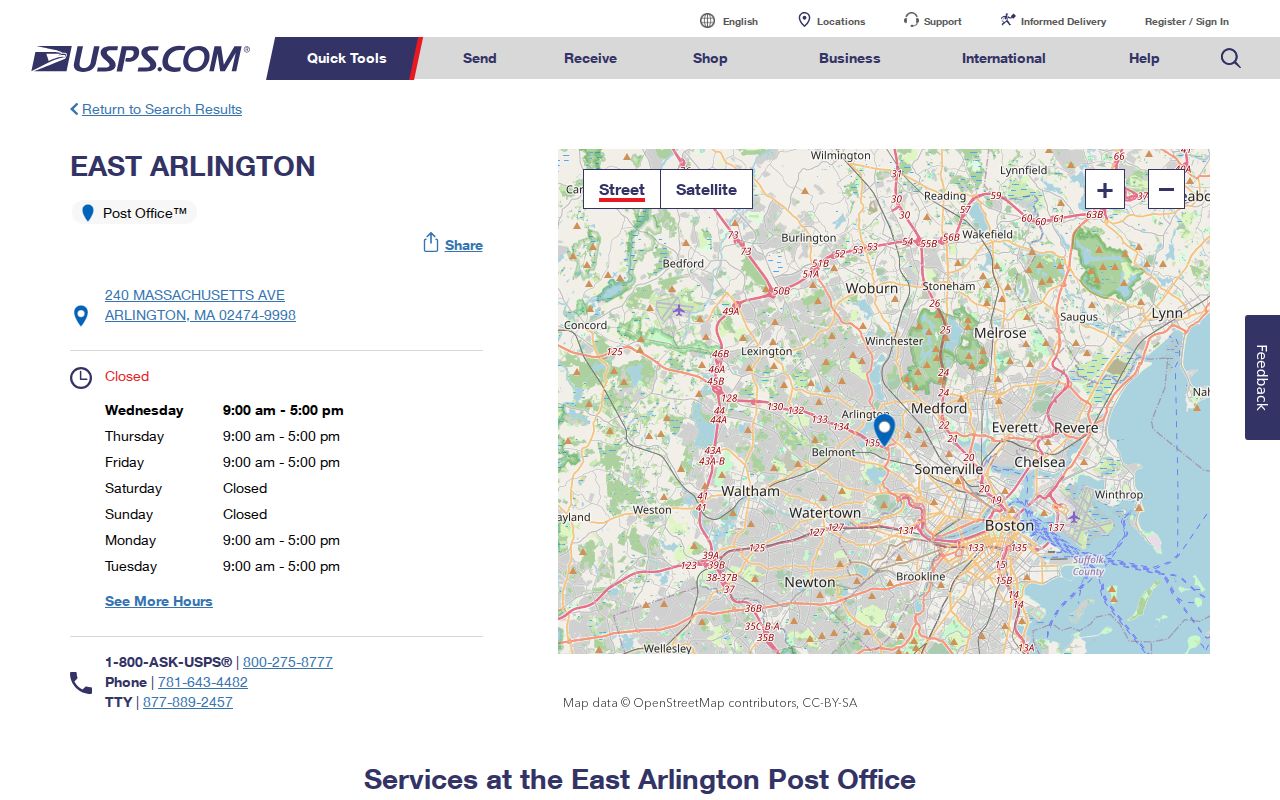
Use the facility record as postal context, then submit the actual delivery address through USPS. A postal place name can remain useful even when municipal, historical, and neighborhood labels differ.
Arlington ZIP 02475 Continuity
02475 has a specific local wrinkle. The USPS Postal Bulletin recorded the discontinuation of the Arlington Heights branch effective October 3, 2024, while retaining the ZIP and the Arlington Heights, MA 02475 place name. That is a continuity fact about postal addressing. It is not evidence that a staffed branch remains open, that every Arlington Heights street falls inside a precise delivery polygon, or that the label is a municipal jurisdiction.
When an older document says Arlington Heights, retain the wording and date in the research notes. Compare it with the complete address, the parcel’s municipal situs, and the legal description instead of converting it automatically to a present-day neighborhood claim. The 02475 entry belongs in the postal reference because the Postal Bulletin preserves the label, even though the branch status changed.
The October 2024 Postal Bulletin is the source for the discontinuation and retention notice. It is a better source for that limited postal fact than a current map or a search result, because neither establishes the branch history or a boundary for the legacy label.
Arlington ZIP 02476 Main Office
02476 is the main Arlington postal area in the available local and USPS material. The USPS Arlington location page identifies the facility at 10 Court Street, Arlington, MA 02476-9998. The facility gives a sound reference for the postal label, but the correct delivery ZIP depends on the full address and any secondary unit. An old mailing last line and a current property record can both be accurate while using different descriptive systems.
USPS Arlington location details are pictured for the 02476 postal area.
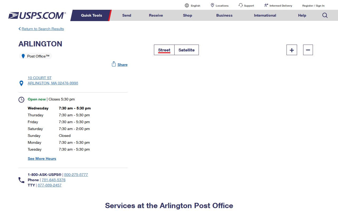
For a parcel question, consult the Assessor and GIS after the delivery address is verified. The main-post-office label should not be used as a substitute for a property identifier or municipal location field.
Arlington ZIP Code Lookup Fields
USPS ZIP Code Lookup is the documented address-validation tool for Arlington. Its By Address tab accepts a delivery address and can validate or complete a ZIP. It also has a By City and State path and a Cities by ZIP path. The result confirms postal formatting and recognized place names, not occupancy. Use the exact street address, including an apartment or suite when it is part of the delivery address.
| USPS field | Type | Required | Use |
|---|---|---|---|
| Company | Text | No | Optional company line |
| Street Address | Text | Yes | Delivery address |
| Apt/Suite/Other | Text | No | Secondary unit or designator |
| City | Text | Yes | Arlington or another USPS-recognized place name |
| State | Dropdown | Yes | Massachusetts |
| ZIP | Text | No | Existing ZIP to validate or complete |
| Cities by ZIP | Five-digit text | Yes | Returns recognized city or place names |
USPS ZIP Code Lookup supplies the address, city/state, and ZIP modes shown in this image.

A returned ZIP is a delivery result. USPS warns that it does not confirm a person or company at the address, so it cannot by itself answer a resident-search question.
The Cities by ZIP result answers a different question: it returns USPS-recognized city or place names for a five-digit code. That can explain why an envelope and a municipal record use different last lines. It cannot establish a property’s legal location, a voter’s precinct, or a boundary for an entire neighborhood.
Finding Residents by Arlington ZIP
No inspected Arlington portal offers a confirmed ZIP-wide resident browser. Assessor and GIS research is parcel or address based, and the Middlesex South Registry uses town, document, date, and party fields rather than a ZIP field. The Massachusetts voter tool accepts a residential ZIP only as one of several individual-match inputs. It does not browse every voter in a postal area. Those limits matter when a search starts with only a five-digit code.
- Use USPS with the full address to validate the delivery ZIP and postal last line.
- Search the Arlington Assessor or GIS by the address or parcel, keeping the situs field separate from the mailing last line.
- For one known person, use the state voter tool with first name, last name, full date of birth, and residential ZIP as required match inputs.
- Use a deed or property question to move into Middlesex South’s party, town, document, or date fields, not a ZIP filter.
- When the address is narrowed to a street, use the Arlington street directory for the address-keyed record sequence.
A request for a local voting list has separate statutory limits, including protections for certain voters. A ZIP label should never be used to reconstruct a protected address or to treat an individual voter-search non-match as proof that a person has left Arlington.
Arlington Postal Boundary Limits
ZIP boundaries and town boundaries serve different purposes. Arlington is legally a town, while USPS last lines may read Arlington, Arlington Heights, or East Arlington. A mailing last line, municipal situs address, and legal description can all differ without conflict. ZIPs also do not establish a tax parcel, voting precinct, school district, census tract, or neighborhood association. Keep all three address forms when a deed, assessment record, and mailing label point in different directions.
MassGIS ZIP polygon documentation explains the limitations visible in this MassGIS image.
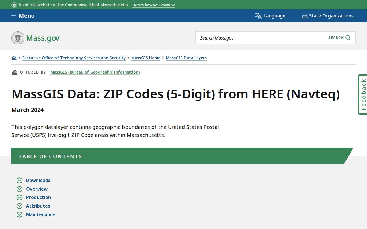
MassGIS says USPS does not maintain official ZIP maps. Its polygons draw on HERE data from 2018 and USPS information, are not Census ZCTAs, and can be fuzzy or revised. Treat a mapped edge as a research aid, then return to the delivery address and parcel record.
- ZIP versus ZIP+4
- A five-digit delivery area differs from ZIP+4, which adds a more specific delivery segment to the postal code.
- PO-box ZIP
- A postal code used for post-office boxes. It does not describe a residential delivery area by itself.
- Unique ZIP
- A code assigned to one organization or facility. No Arlington unique ZIP was confirmed in the research.
- Carrier route
- A postal delivery sequence used for mail handling, not a town, parcel, or resident boundary.
For municipal records, use the address form the custodian recognizes. Arlington WebPro begins with property and address information, the Registry works from town and recorded-land fields, and the GIS Data Hub connects municipal data to location. None of those documented descriptions confirms a ZIP-wide browse tool. A mapped ZIP overlay can still help orient a search, but it should be followed by an address or parcel check.
Arlington ZIP Address History
Postal information is only one layer of Arlington address history. The Arlington Historical Commission says street names and numbers changed frequently, with a significant original street-name and number change in 1935. A current address should not be dropped unchanged into an 1890 directory or deed search. Save the present street and number, parcel geometry, postal last line, and legal description before moving backward through older material.
The Center for Local History conversion table, nearby atlas or Sanborn maps, old directory street lists, deed plans, lot shape, and adjacent streets provide a bridge across the change. Postal labels help deliver mail, but a historical or parcel question requires the address form used in the relevant year.
Keep a simple three-part note for each address: the postal last line used for delivery, the Arlington situs address used by the municipal property record, and the deed’s legal description. If a historic directory uses Menotomy or West Cambridge, record that label rather than silently replacing it. Compare the old and current street forms against the 1935 conversion information, then test continuity with the lot shape, plan, nearby streets, and deed references. This preserves the evidence when a familiar address has changed names or numbers across records.
For a historical household question, pair the confirmed address form with the correct directory year and retain the source image or citation beside the result.