
Arlington Neighbors Block Sources
Arlington neighbors can be researched at several levels, and each record has a narrow purpose. GIS establishes the shape of a block. The assessor card provides an owner-of-record and parcel facts. The Registry records transfers and plans. Historic directories can place past occupants at a number. A local voting list is subject to a separate Massachusetts rule and protected-address limits. Start with the source that matches the question, then keep dates and access limits visible.
| Source | What It Shows About a Block | Access |
|---|---|---|
| Arlington GIS Data Hub | Parcel boundaries, mapped context, and attributes where enabled | Public map and data hub |
| Arlington Assessor WebPro | Current assessment owner, situs, value, sale and property attributes | Public property-search route |
| Middlesex South deeds and plans | Transfers, legal descriptions, subdivision and lot geometry | Free online search where indexed; counter for gaps |
| Local voting list | Listed voters at street numbers for a defined lawful year | M.G.L. c.51 §55 route; protected omissions apply |
| Directory street list | Historic occupants or businesses by house number | Robbins Library, State Library, and scans |
| Permits and maps | Construction chronology, lot context, and building footprint | Town files, GIS, library, and archive access |
Owner names, mailing fields, and past directory entries are not interchangeable with present occupants. An owner may use another mailing address. A directory date records a publisher’s information at that time. A map label may only be geographic context. Arlington neighbors research stays more accurate when those distinctions remain separate.
Arlington GIS Parcel Method
The Town GIS page links to the Arlington GIS Data Hub, interactive and static maps, and downloadable data. The documented controls include an address search or geocoder where the app recognizes it, layer toggles, pan and zoom, identify or select tools, basemaps, and download or print options. Parcel, zoning, historic, wetland, school-district, and other layers can be useful, but exact layer names and app controls can change.
There is no verified official button that finds every neighbor within a stated distance. The safe method is visual geography: identify the target parcel, turn on parcel boundaries, then inspect each boundary-touching or nearby parcel. Deep lots, parks, ponds, paper streets, rear lots, and irregular geometry can make numerical street order misleading. The map establishes adjacency, not a household claim.
- Search the target address and turn on the parcel layer.
- Click the target parcel and record its identifier and shape if attributes are available.
- Pan and zoom around each shared boundary, recording only the parcels that are geographically relevant.
- Cross-check every parcel identifier in the assessor search and preserve the search date.
- Use zoning, historic, wetland, or school layers to describe block context, never as people data.
Note: A parcel-map click is a geographic observation, so confirm any ownership detail with the assessor card or land record.
Map an Arlington Block Carefully
Once GIS identifies the relevant parcels, Arlington WebPro can add the assessment fields for each one. The Town says the Assessor identifies the owner of record as of January 1 of the fiscal year, assessed value, and last sale date. Its property-search information describes searches by street, owner name, neighborhood, property style, lot size, year built, bedrooms, and sale history. Use each field as a dated property clue, not proof of an entire household.
A clean block flow is: address to GIS parcel, parcel identifier to WebPro, WebPro owner snapshot to a Registry transfer if a history question remains. The Registry’s legal description or plan can explain why a parcel does not line up with nearby street numbers. For the broader record trail along a named road, use the Arlington street directory rather than treating an immediate-block search as a whole-street directory.
- Parcel
- A mapped unit of land used by an assessor and GIS. It can be a useful research key even when it does not match a postal pattern.
- Situs
- The physical location of the parcel or building. It differs from an owner’s tax mailing address.
- Legal description
- Deed language that identifies land by lot, plan, bounds, or prior record. It often outlasts a changed street number.
- Adjacent parcel
- A parcel that shares a boundary or has documented geographic proximity. Numerical neighbors on a street are not always adjacent.
Arlington Block Context Layers
GIS layers can make an Arlington block easier to understand without turning the map into a directory of people. A parcel can sit next to a historic district, wetland, school-district boundary, park, or unusual lot line. Each can explain a plan, building limit, public record request, or map mismatch. The Data Hub also offers downloads, but each layer’s metadata and update information should be checked before relying on it.
Arlington’s geography makes that caution practical. The Town describes a compact area with water, parkland, private streets open for travel, state roads, and paper streets. Lot boundaries around Spy Pond, Mill Brook, parks, or former industrial areas may not follow the ordinary sequence of street numbers. A quick map sweep cannot replace the parcel geometry and deed plan.
Arlington Neighbors in Old Street Lists
For historic Arlington neighbors, directories from 1894 forward are a stronger address-to-occupant source than a present property card. The local holdings include street lists alongside surname lists, and directory runs begin in 1869-70 with gaps through 1940. Check the exact year and image, then compare the target number with the numbers above and below it. The result is a past household or business lead, not evidence about today’s residents.
Address changes matter here. Arlington’s historical materials flag a significant 1935 street-name and number change, with a conversion table kept through the Center for Local History. Search the historic form before treating a directory omission as a move. Sanborn maps and atlases can confirm the building or lot context; they date a structure and nearby streets, not the people inside.
The Arlington Historical Society PastPerfect catalog is a useful referral layer for photographs, objects, place names, and archival leads.
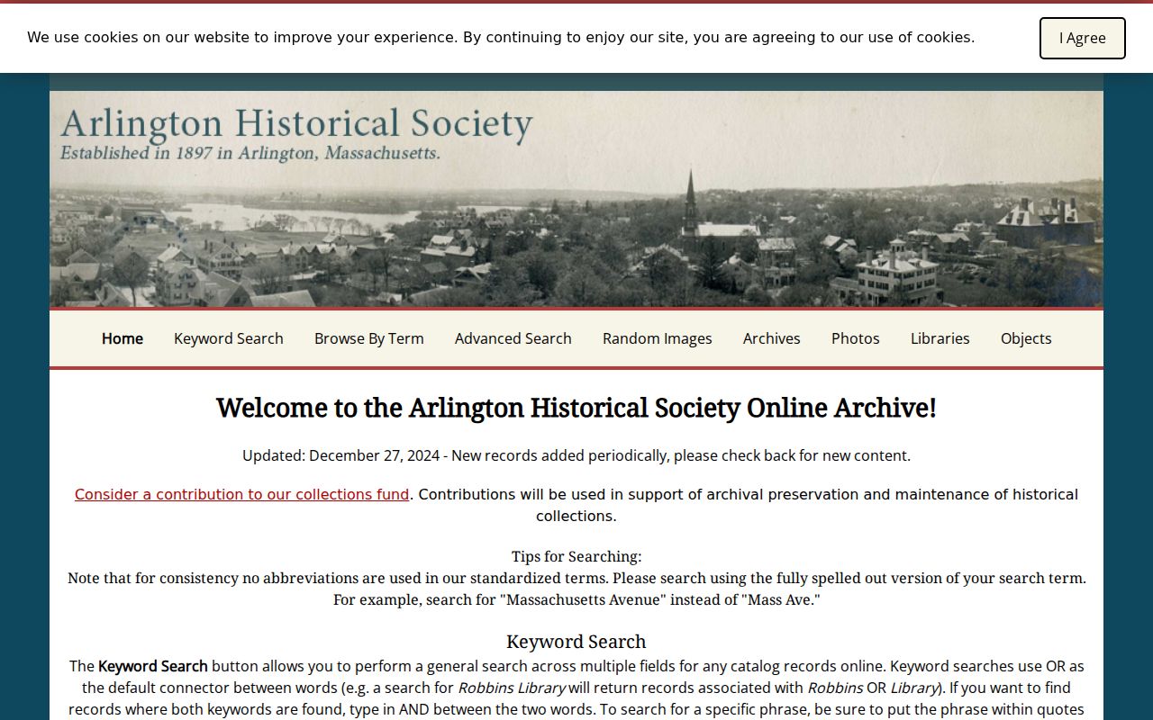
The catalog does not promise a complete local research library or a block roster, but it can help connect a parcel or historic name to further local-history sources.
Arlington Civic Links Nearby
The Town’s community-organization directory is a public community layer, not a map of household membership. It links civic, cultural, park, and historical groups including Friends of Spy Pond Park, Friends of Great Meadows, Friends of Menotomy Rocks Park, Friends of Robbins Library, Arlington Center for the Arts, Arlington Newcomers and Neighbors, the League of Women Voters, and Arlington Historical Society.
| Park and place-history leads | Friends of Spy Pond Park, Friends of Great Meadows, Friends of Menotomy Rocks Park, and Friends of Robbins Farm Park appear in the Town list. |
|---|---|
| Local-history leads | Arlington Historical Society and Friends of Robbins Library can point to public programs and collections. |
| Community connection | Arlington Newcomers and Neighbors and the Arlington Chamber appear as public community resources, not resident lists. |
The Town says its list does not endorse the organizations. No official Arlington-wide neighborhood-association or HOA membership directory was located. Use a group’s own public contact material only for its stated purpose, and do not infer a block’s residents or boundaries from a group name.
Arlington Neighbors and Voting Lists
Massachusetts has a narrow street-list route that is different from the state’s individual voter confirmation form. M.G.L. c.51 §55 says towns of at least 5,000 prepare voting lists by street, with a number, residence, party enrollment, and active or inactive status as the statute specifies. For an historic or defined local request, ask the Arlington Town Clerk or Elections office for the year, precinct or street and applicable format.
The public rule has important boundaries. The statewide tool requires a person’s first name, last name, date of birth, and residential ZIP. It cannot browse a whole street. M.G.L. c.51 §47C restricts central registry names and addresses, while M.G.L. c.51 §4 can protect voter addresses for ACP participants and other qualifying people. A non-voter or non-match is not proof that a neighbor has left town.
Note: Do not treat party enrollment as a ballot choice or a profile of a person’s political views.
Arlington Neighbor Tools Compared
Official records and commercial neighbor tools answer different questions. The official routes are tied to a custodian, field set, date, and access rule. Commercial categories often combine old filings, address history, and guessed associations, which can merge people with the same name or put a mailing address in the wrong role. A block search is more useful when each result can be traced back to its source.
| Route | Useful For | Key Limit |
|---|---|---|
| Official parcel and assessor records | Mapped parcel and owner-of-record snapshot | Does not prove all occupants or a current household |
| Registry deed and plan records | Transfer history and land geometry | Parties can be trustees, agents, or prior owners |
| Historic directories and newspapers | Dated past address and community context | Gaps, OCR errors, and publisher timing need verification |
| Commercial category | A possible lead to verify independently | Can be stale, merged, incomplete, and nonauthoritative |
Use the official name, date, parcel, street form, and record type to test a claim. If the answer depends on a municipal file that is not online, the Arlington Public Records Center accepts defined records requests. Ask for an existing record, street, parcel, date range, and custodian rather than a broad dossier.
Privacy Limits for Arlington Neighbors
Much of a block remains properly private. Renters and household members are not indexed in a general public record. Utility and delivery-customer lists are not public. The federal Driver’s Privacy Protection Act restricts motor-vehicle personal information. Court, vital, juvenile, sealed, and impounded records can also suppress details. A public parcel or a directory entry does not authorize filling those gaps by inference.
Massachusetts Address Confidentiality Program participants can use a substitute address for state and local transactions, and protected voters can be omitted from ordinary street lists. Do not attempt to reconstruct a protected location from map, deed, court, or voter fragments. The Massachusetts ACP explains its program and the limits of address suppression.
Lawful use. Arlington neighbor research is for personal, civic, and local-history questions. Do not use any record to monitor, threaten, contact repeatedly, harass, or harm another person.